
From: https://commons.wikimedia.org/wiki/File:Survey_of_British_Commission_for_t... Uploaded by Ndalyrose. (In 1 mosaic) Last modified about 8 years ago. Unrectified.
Links:
|
|
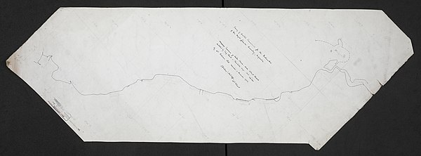
File:Survey of British Commission for the Delineation of the Anglo-German Boundary, Uganda. Compass Traverse of Lake Shore - Lake Albert Edward. WOOS-14-6.jpg
From: https://commons.wikimedia.org/wiki/File:Survey_of_British_Commission_for_t... Uploaded by Ndalyrose. (In 1 mosaic) Last modified about 8 years ago. Unrectified. Links: |
This map is currently unloaded. You can log in to load it up into the system.
From: https://commons.wikimedia.org/wiki/File:Survey_of_British_Commission_for_the_Delineation_of_the_Anglo-German_Boundary,_Uganda._Compass_Traverse_of_Lake_Shore_-_Lake_Albert_Edward._(WOOS-14-6).jpg
A low resolution preview of the map is shown below.
 WMS Capabilities URL
 Tiles base URL
 Download points as CSV
.jpg)