Add new map from Wikimedia Commons
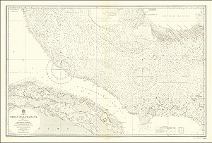
File:Admiralty Chart No 2009 The Great Bahama Bank Sheet II. From 23° 40'N. Latitude To Old Bahama Channel Surveyed by Commdrs. R. Owen & E. Barnett & Lieutenant T. Smith R.N. 1836-1842 The Coast of Cuba from United States Government Charts of 1930-1.jpg
This map is not in the Wikimaps Warper yet - to add it, please log in first.