Browse Maps
| Map | Title | Last modified  |
Status |
|---|---|---|---|

|
Links:
|
8 months ago. | 4 control points. |
|
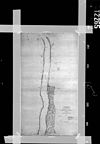
From: https://commons.wikimedia.org/wiki/File:T-2265B.jpg (In 1 mosaic)
Links:
|
8 months ago. | Unrectified. |
|
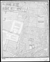
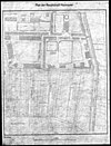
From: https://commons.wikimedia.org/wiki/File:1918-1939_circa_Open_GeoData_Plan_...
Links:
|
8 months ago. | 3 control points. |

|
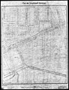
From: https://commons.wikimedia.org/wiki/File:1918-1939_circa_Open_GeoData_Plan_...
Links:
|
8 months ago. | 3 control points. |

|
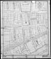
From: https://commons.wikimedia.org/wiki/File:1918-1939_circa_Open_GeoData_Plan_...
Links:
|
8 months ago. | 3 control points. |

|
From: https://commons.wikimedia.org/wiki/File:1918-1939_circa_Open_GeoData_Plan_...
Links:
|
8 months ago. | 4 control points. |
|
From: https://commons.wikimedia.org/wiki/File:1918-1939_circa_Open_GeoData_Plan_...
Links:
|
8 months ago. | 3 control points. |
|
From: https://commons.wikimedia.org/wiki/File:1918-1939_circa_Open_GeoData_Plan_...
Links:
|
8 months ago. | 3 control points. |
|
From: https://commons.wikimedia.org/wiki/File:1918-1939_circa_Open_GeoData_Plan_...
Links:
|
8 months ago. | 3 control points. |

|
From: https://commons.wikimedia.org/wiki/File:1918-1939_circa_Open_GeoData_Plan_...
Links:
|
8 months ago. | 4 control points. |
Displaying Map 781 - 790 of 6292 in total. per page.